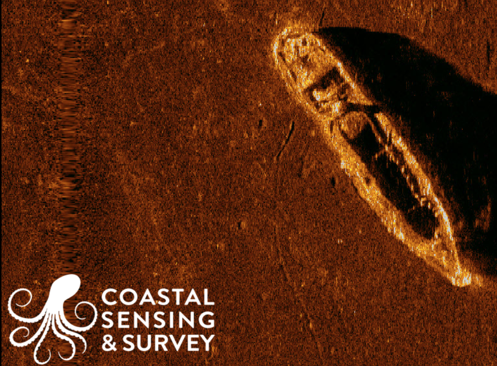
One of the long-term projects that GUE Seattle is involved in is the mapping of wrecks of our local waterways. What was once considered trash may now an important piece of regional history. Through a partnership with Coastal Sensing & Survey, we have been able to conduct high-resolution sonar scans of much of the region. These incredibly detailed scans give divers critical information about not only which wrecks are potentially worth exploration, but also provides information about possible hazards on the wreck.